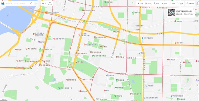
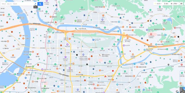
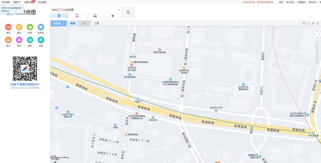
The rapid development of the city has brought about an improvement in the quality of life. As cars become more and more popular in family life, the usage rate of map navigation apps is also increasing. In the past few days, Baidu Maps and AutoNavi Maps opened the map of Taiwan Province, which caused a sensation in the world for a while. The map app can already be accurate to every path and traffic light. It is really useful for real life use. This post will introduce you to the top 10 map navigation apps in China.
1. Gaode Map 高德地图

2. Baidu Map 百度地图

3. Tencent Maps 腾讯地图

4. Ovi Interactive 奥维互动
Aowei Interactive is a high-tech enterprise specializing in the development of geographic planning software, under the umbrella of Yuansheng Huawang Software, and is committed to providing enterprises with advanced planning and design tools. Allview Interactive Map Browser is a cross-platform map browser with powerful design functions and geographic information display technology, which can meet the needs of geographic information planning in various industries.
5. Map Bar Navigation 图吧导航
Tuba Navigation is a map navigation software of NavInfo. NavInfo was established in 2002 and listed on the Shenzhen Stock Exchange in 2010 (stock code: 002405). NavInfo is a leader in China’s navigation map industry. NavInfo has become a leader in navigation maps, navigation software, dynamic traffic information, location big data, and customized IoV solutions for passenger cars and commercial vehicles.
6. Yoyo Navigation 悠悠导航
Yoyo Navigation is a new technology company under Meixing Technology, which is oriented to in-vehicle information systems and mobile Internet location services. It is a large-scale independent in-vehicle navigation software provider in China. Intelligent parking system, intelligent network terminal equipment, etc.
7. Careland 凯立德

8. Tuyitong 图易通
Founded in 2004, Yitutong is one of the main map dealers in the domestic automobile front-mounted navigation maps and autonomous driving high-precision maps. The core business direction of Tongtong covers autonomous driving, vehicle-road collaboration, and digital twin applications.
9.Daodaotong 道道通
Founded in 2002, Daodaotong is a well-known domestic navigation electronic map brand, a high-tech enterprise integrating drones and intelligent hardware equipment/map information platform/vehicle navigation maps and software.
Guangdong Ruitu Wanfang Technology Co., Ltd. was established in August 2002 and is headquartered in Foshan City, Guangdong Province. At the same time, it has established intelligent hardware and application software R&D centers in Shenzhen and Guangzhou. Ruitu Wanfang established a strategic and capital partnership with Baidu in 2013. Baidu became one of the shareholders of Ruitu Wanfang and continued to provide Ruitu Wanfang with new navigation electronic maps and related technical product support. Ruitu Wanfang is an enterprise integrating drones and intelligent hardware equipment, map information platform, vehicle navigation maps and software. It focuses on the development of dynamic monitoring of space resources, map information and front loading plants. products, technologies and services. Ruitu Wanfang’s brand “Daodaotong” has become one of the more well-known brands in the domestic navigation industry.
The core business of Ruitu Wanfang includes:
(1) Intelligent perception products, realize independent research and development and customization of software and hardware for dynamic monitoring of space resources, and are widely used in agriculture, forestry, surveying and mapping, environmental protection, energy and other fields;
(2) Map data and platform, providing map data and geographic information platform solutions for industries such as smart city “two violations” dynamic inspections, grid management of public security and stability maintenance, visual management of agricultural resources, and information space management of environmental censuses;
(3) In-vehicle navigation system, the company has entered most domestic and joint venture car factories, such as Ford, Mercedes-Benz, GAC, FAW, Shaanxi Automobile, Great Wall, Jianghuai, etc.;
(4) Professional aviation and flight services. The company has established mature aviation and flight service capabilities in the fields of agriculture, forestry, surveying and mapping, environmental protection and electric power, and can provide users with customized integrated data collection such as visible light, lidar, and spectral data. and fusion processing services.
10. and Maps 和地图
And map refers to obtaining customer location information based on mobile communication network, through mobile phone client software, according to GPS/FPP positioning or cell base station positioning, providing customers with basic services such as route navigation, POl search surrounding query, map red envelopes, etc. Data business with value-added service functions such as key talk, where are you, family care, overseas maps, etc.
The family care function is a differentiated location service provided by using the mobile phone number to locate others’ own core capabilities. It is a location service provided by the user’s application and after the second-level authorization of the care object’s SMS and voice, mainly including real-time positioning, track records, and regional alarms. It is a network-wide location monitoring service specially provided for family customers.
The overseas map function is based on overseas genuine maps, adopts advanced technologies such as artificial intelligence and big data analysis, localizes overseas tourism data, integrates the core location service capabilities under independent control, and provides overseas map services for overseas tourists. It mainly includes bilingual maps, overseas positioning, offline download, Chinese search, route planning and other functions. The first-phase online countries and regions are: Qin, Singapore, Vietnam, Indonesia, Malaysia, the Philippines, Maldives. Other countries and regions will be launched one after another.
See Also: Top 15 Most Popular Mobile Apps in China